T2D2 | AI Building Inspection

Case Study Research
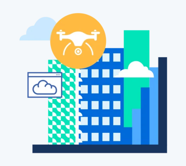
Business Needs
- The conventional methods employed for image detection, storage, and assessment in traditional inspections are not only outdated but also prove to be inefficient.
- The requirement was to make such a platform through which engineers can have less time spent on field inspections and reduce the risk of safety for infrastructure.
- Adding AI to identify the potential risk of damage using images, videos and 3D models.

Challenges
- The main challenge was to handle the media uploading and managing them.
- Marking the detected damages to show the percentage of risks in damage on the image uploaded were somewhat hard to manage using the Leaflet library.
- When capturing any image of the building or house there was a need to get the dimension and the aspect ratio of them and show detected damages were quite hard.

Proposed Solution
- To Develop a system where one can view and manage detailed pictures of preventive maintenance efforts to avoid higher downstream repair costs as well as potential safety issues.
- To make the process smooth and reliable we have divided the features of the application into small yet efficient milestones.